Monitoring Climate Change From Space

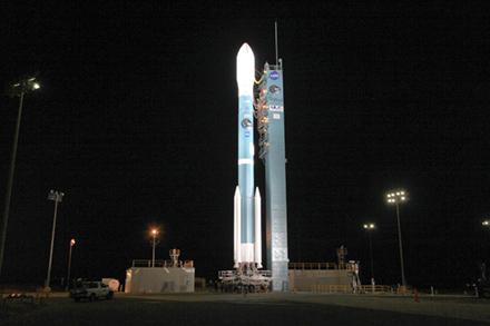
The best way to gather data about the Earth's water and land resources is viewing it from space. In 2015, ARS scientists helped the National Aeronautics and Space Administration (NASA) with the launch of SMAP (Soil Moisture Active-Passive), a new satellite measuring the amount of water in top soil layers around the world.
SMAP gathers soil moisture data that help track diseases and famine, help predict weather and climate patterns, help emergency workers respond to natural disasters, and help farmers decide what crops to plant. SMAP provides the best global view of soil moisture to date. Early users include those in agriculture, weather, human health, emergency response, and military readiness.
This past year, SMAP data were used to predict the water supply in New York City and predict large regional dust storms in Saharan Africa and throughout the Middle East. SMAP data were also used to map sea ice to help improve maritime navigation and to look at the impact of hurricanes on power outages.
Related Information
Website: NASA Soil Moisture Active-Passive


