Carbon Mapping on the Go
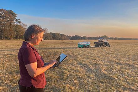
Precision agriculture combines cutting-edge technology with traditional farming methods to improve the productivity, efficiency, and viability of today’s agriculture. This approach is crucial to balancing crop yield requirements with environmental sustainability.
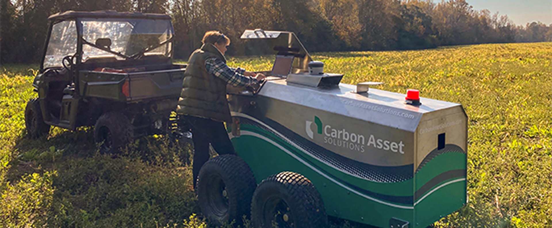
ARS researchers with the Soil Dynamics Research Lab in Auburn, AL, have developed a unique mobile system that assesses and maps out soil carbon to a depth of 30 centimeters (the plow layer) – all in real time. The mobile system, when paired with a GPS device, can accurately acquire information about soil carbon content and generate corresponding maps in a rapid, inexpensive, and efficient manner.
The data obtained from this new tool helps farmers and other stakeholders better understand how their land management practices impact environmental processes like carbon sequestration, a method of mitigating climate change by storing CO2 in the soil, rather than releasing it into the atmosphere.


