First-Ever Maps Help Promote Food Security on Tribal Lands
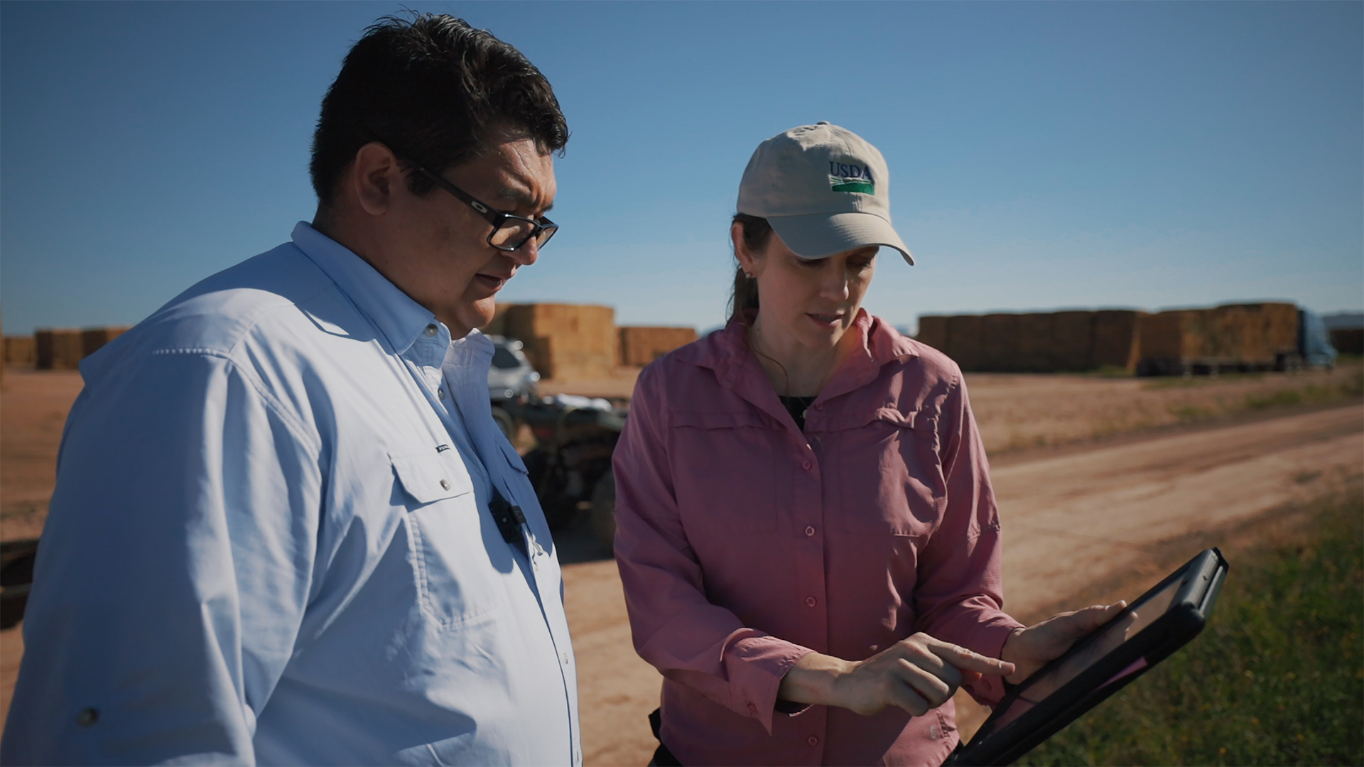
Knowledge, data, and understanding of soils is vital for advancing agriculture and society. Until recently, however, Native American farmers lacked the foundational soil property information they needed to sustainably improve yield and promote food security. ARS researchers in Fayetteville, AR, worked with the Quapaw tribe to create first-ever high-resolution digital maps of soil properties and land-use interpretations for their tribal lands in northeastern Oklahoma.
Tribal leaders and farmers are using these maps for sustainable soil-water-nutrient management land-use decisions. Access to this more detailed and current soil information will help provide greater food security for those residing on tribal lands – which are considered autonomous nations – and give them the ability to grow more culturally important foods.
Related Information
Research Project: Advancing the State of Soil Information on U.S. Tribal Lands for Improved Food Security


