Undercutting Wildfire: Targeted Grazing as a Tool for Prevention
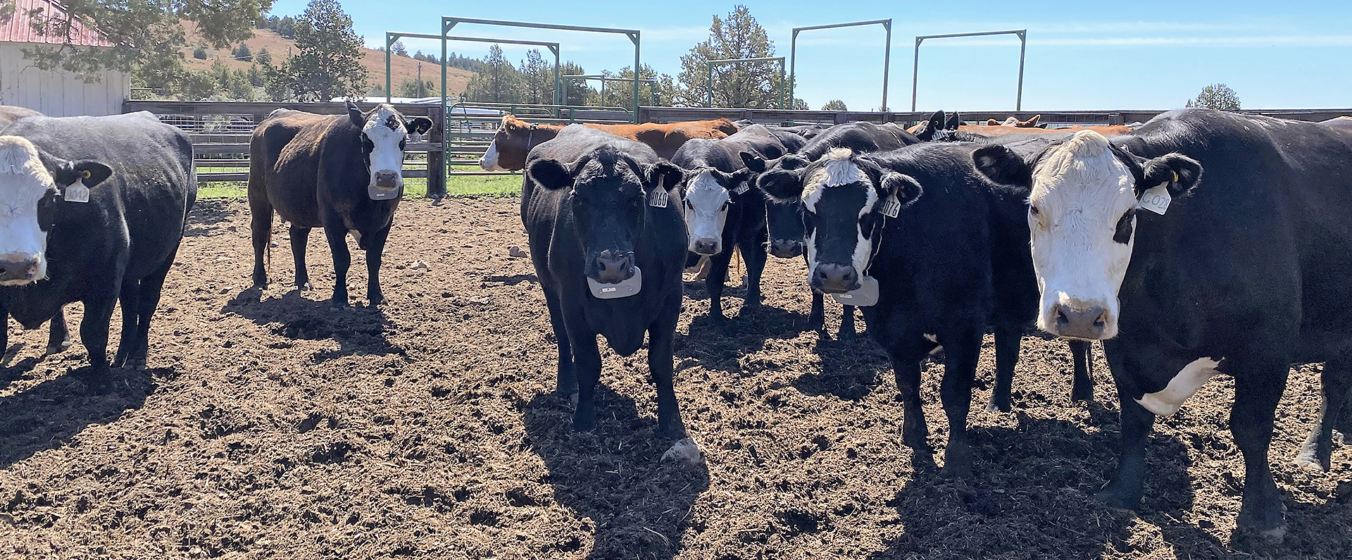
As wildfires grow larger and more frequent, ARS researchers are searching for effective methods to combat them. A team at the ARS Range and Meadow Forage Management Research Unit in Burns, OR, has developed one approach that looks especially promising. It combines satellite data with virtual fencing to turn ordinary livestock grazing into a powerful tool to reduce wildfire risk.
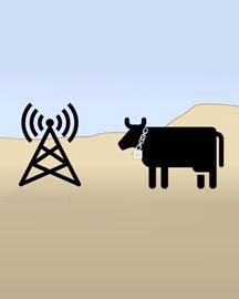
Their research on small-scale plots has revealed that the presence of fine fuels like grasses is a robust predictor of wildfire risk. Using advanced satellite imagery, the researchers found they could scale that insight up and accurately map the likelihood of large wildfires across the Great Basin. Their idea is to use that information to strategically direct where livestock graze, with virtual fencing – a critical solution because the vast rangelands affected by wildfire are much too large to mow, spray, or otherwise modify in any other way. By strategically directing grazing to reduce fine fuels where they pose the most risk, the researchers believe they can dramatically reduce both the occurrence and severity of future wildfires.
Related Information
Video: Virtual Fencing - Making a Base Station Mobile
Article: Virtual Fencing Excludes Cattle from Burned Areas in Sagebrush Steppe


